
Lorance Creek Nature Trail
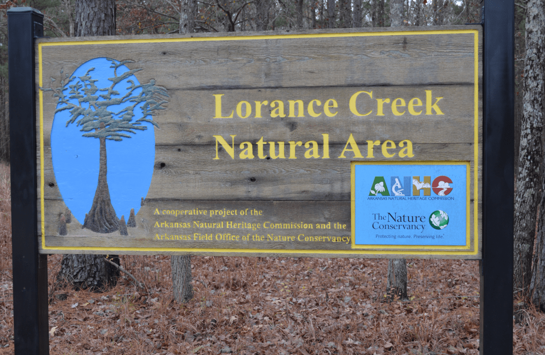
The Lorance Creek Nature Trail is is an easy 1/2 mile trail that is paved and that features a pine oak forest, and a boardwalk that will give you a closer look at the swamp area. Both the foot trail and the boardwalk are accessible. There are porta potties located there, but the nearest accessible bathroom is the gas station located at exit 9. At one point, the trail will gradually dip down.
From Little Rock, take Interstate 530 , exit at Exit 9 (Bingham Road). Turn left on Bingham Road, cross over the interstate, and continue through a residential area. At the first “Y” in the road, go right on Bingham Road. At the second “Y” in the road, veer right on Border Lane and the Lorance Creek parking lot should be on your right.
If you have additional questions about this trail, click the link below.
Difficult or Hazardous Areas
- There is a small slope in trail
- Trail has a dead end, so you have to turn back at the end
- Bridge is damp after rainfall
Images of Trail

Video Footage of Trail
Location
10809 Executive Center Drive
Searcy Building, Suite 316
Little Rock, AR 72211
Accessibility
We are committed to creating an accessible website. If you encounter barriers that result from the design of this site or the materials provided, please contact us at partners@uark.edu.