Overall I think my attempt at the assignment was a failure. After many attempts at linking the cities and counties in the FBI data to the zip codes in the zip codes workbook and Excel closing itself at one point, I was ready to give up. None of the options I tried worked for me and I could not figure out how to have Tableau think the FBI data had any geocoded entities.
As one last ditch effort I loaded the zip code data set into tableau first and then the FBI data. I used an inner link and equated “Primary City” in the zip code dataset to “Agency 1” in the FBI data set. I dragged “State,” “Zip,” “Primary City,” and “County” from the zip code data set onto the worksheet in Tableau before dragging in the violent crime rate.
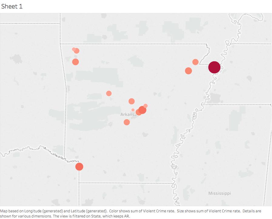
This is as close as I could come to any type of crime map. I am really looking forward to figuring this out.
Recent Comments